File:Mexico map.png
From CreationWiki
Jump to navigationJump to search
Size of this preview: 800 × 522 pixels. Other resolution: 2,000 × 1,305 pixels.
Original file (2,000 × 1,305 pixels, file size: 387 KB, MIME type: image/png)
Summary
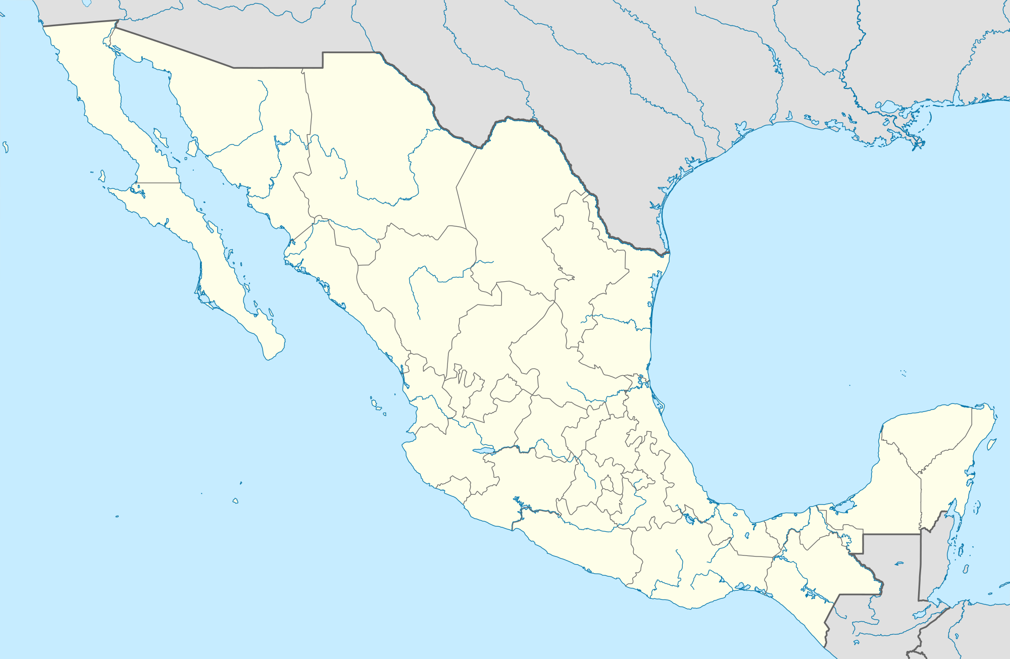
English: Location map of Mexico Equirectangular projection, N/S stretching 110 %. Geographic limits of the map:
N: 33.3° N S: 14.2° N W: 118.5° W E: 86.3° W
Source own work, using United States National Imagery and Mapping Agency data World Data Base II data Author NordNordWest
Copyright status:
This file is licensed under the Creative Commons Attribution-Share Alike 3.0 Unported license. You are free: • to share – to copy, distribute and transmit the work. • to remix – to adapt the work Under the following conditions: • attribution – You must attribute the work in the manner specified by the author or licensor (but not in any way that suggests that they endorse you or your use of the work). • share alike – If you alter, transform, or build upon this work, you may distribute the resulting work only under the same or similar license to this one. | |||||||||||
Source:
https://commons.wikimedia.org/wiki/File:Mexico_location_map.svg
File history
Click on a date/time to view the file as it appeared at that time.
| Date/Time | Thumbnail | Dimensions | User | Comment | |
|---|---|---|---|---|---|
| current | 16:21, 10 November 2019 | | 2,000 × 1,305 (387 KB) | Luiz Alexandre Silva (talk | contribs) | English: Location map of Mexico Equirectangular projection, N/S stretching 110 %. Geographic limits of the map: N: 33.3° N S: 14.2° N W: 118.5° W E: 86.3° W Source own work, using United States National Imagery and Mapping Agency data World Data... |
You cannot overwrite this file.
File usage
There are no pages that use this file.