File:Fran Church.JPG
Original file (756 × 899 pixels, file size: 128 KB, MIME type: image/jpeg)
Summary
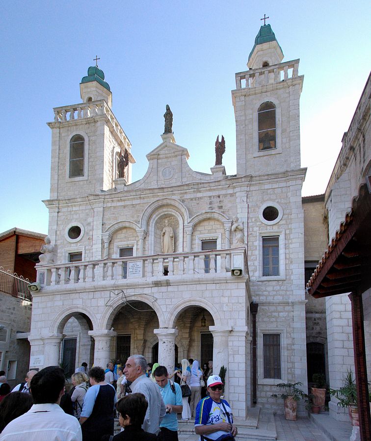
Camera location 32° 44′ 49.35″ N, 35° 20′ 18.43″ E Kartographer map based on OpenStreetMap. View this and other nearby images on: OpenStreetMap - Google Earth info Description English: Weddingchurch in Kafr Kanna Deutsch: Hochzeitskirche in Kafr Kanna Date 7 November 2008 Source Own work Author Berthold Werner
Copyright status:
I, the copyright holder of this work, release this work into the public domain. This applies worldwide. In some countries this may not be legally possible; if so: I grant anyone the right to use this work for any purpose, without any conditions, unless such conditions are required by law.
Source:
File history
Click on a date/time to view the file as it appeared at that time.
| Date/Time | Thumbnail | Dimensions | User | Comment | |
|---|---|---|---|---|---|
| current | 06:01, 4 January 2018 | | 756 × 899 (128 KB) | Gracehopf (talk | contribs) | Camera location 32° 44′ 49.35″ N, 35° 20′ 18.43″ E Kartographer map based on OpenStreetMap. View this and other nearby images on: OpenStreetMap - Google Earth info Description English: Weddingchurch in Kafr Kanna Deutsch: Hochzeitskirche in... |
You cannot overwrite this file.
File usage
There are no pages that use this file.