File:Distribution map.png
From CreationWiki
Jump to navigationJump to search
No higher resolution available.
Distribution_map.png (650 × 540 pixels, file size: 20 KB, MIME type: image/png)
Summary
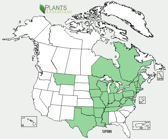
A map showing the areas of the United States enhabited by the Branched Bur-reed
Copyright status:
This image is public domain because it was first published by the United States Departments of Agriculture.
Source:
File history
Click on a date/time to view the file as it appeared at that time.
| Date/Time | Thumbnail | Dimensions | User | Comment | |
|---|---|---|---|---|---|
| current | 19:10, 21 May 2009 | | 650 × 540 (20 KB) | L.knowles25 (talk | contribs) | A map showing the areas of the United States enhabited by the Branched Bur-reed |
You cannot overwrite this file.
File usage
There are no pages that use this file.