File:Fireweed distribution map.jpg
From CreationWiki
(Redirected from File:Distribution map.jpg)
Jump to navigationJump to search
No higher resolution available.
Fireweed_distribution_map.jpg (650 × 540 pixels, file size: 62 KB, MIME type: image/jpeg)
Summary
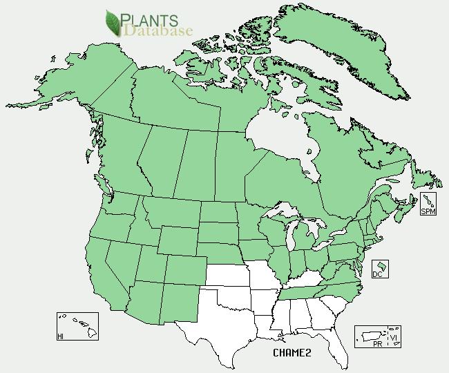
The fireweed is present in the places that are green, but aren't present in the places that are white.
Copyright status:
This photo is publich domain because it originated from USDA.gov, and has no copyright.
Source:
File history
Click on a date/time to view the file as it appeared at that time.
| Date/Time | Thumbnail | Dimensions | User | Comment | |
|---|---|---|---|---|---|
| current | 04:26, 24 May 2009 | | 650 × 540 (62 KB) | Danielthefirst (talk | contribs) | The fireweed is present in the places that are green, but aren't present in the places that are white. |
You cannot overwrite this file.
File usage
The following page uses this file:
- File:Distribution map.jpg (file redirect)