File:Centralamericancountries.png
From CreationWiki
Jump to navigationJump to search
No higher resolution available.
Centralamericancountries.png (200 × 200 pixels, file size: 5 KB, MIME type: image/png)
Summary
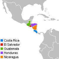
Locator map for Costa Rica, El Salvador, Guatemala, Honduras and Nicaragua.
Copyright status:
Own work by uploader.
Source:
http://commons.wikimedia.org/wiki/File:Locator_CR-SV-GT-HN-NI.png
File history
Click on a date/time to view the file as it appeared at that time.
| Date/Time | Thumbnail | Dimensions | User | Comment | |
|---|---|---|---|---|---|
| current | 14:08, 16 April 2009 | | 200 × 200 (5 KB) | Zbocaj (talk | contribs) | Locator map for Costa Rica, El Salvador, Guatemala, Honduras and Nicaragua. |
You cannot overwrite this file.
File usage
There are no pages that use this file.