File:Alabama map.png
From CreationWiki
Jump to navigationJump to search

Size of this preview: 800 × 574 pixels. Other resolution: 1,181 × 847 pixels.
Original file (1,181 × 847 pixels, file size: 703 KB, MIME type: image/png)
Summary
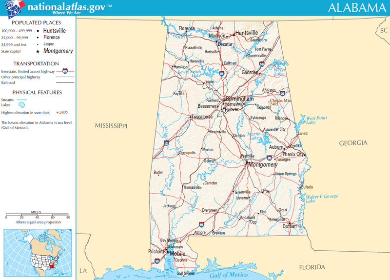
Map of Alabama, USA.
Copyright status:
This map was obtained from an edition of the National Atlas of the United States. Like almost all works of the U.S. federal government, works from the National Atlas are in the public domain.
Source:
http://nationalatlas.gov/printable/images/pdf/reference/pagegen_al.pdf
File history
Click on a date/time to view the file as it appeared at that time.
| Date/Time | Thumbnail | Dimensions | User | Comment | |
|---|---|---|---|---|---|
| current | 21:22, 14 July 2011 | | 1,181 × 847 (703 KB) | Ashcraft (talk | contribs) | Map of Alabama, USA. category:US map category:Alabama |
You cannot overwrite this file.
File usage
There are no pages that use this file.