File:White fir foilage topside.jpg
White_fir_foilage_topside.jpg (800 × 600 pixels, file size: 267 KB, MIME type: image/jpeg)
Summary
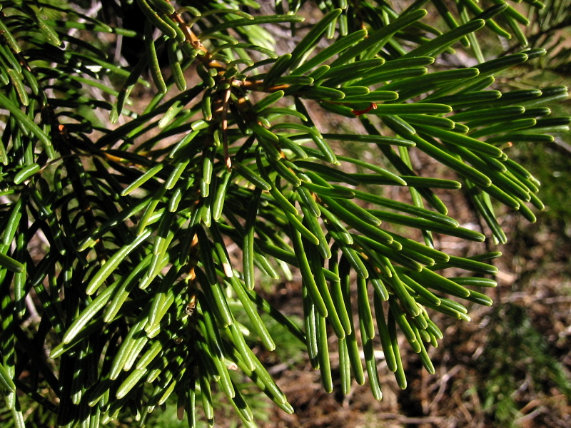
Abies concolor
Description: Low's White Fir, Abies concolor subsp. lowiana, foliage. Viewpoint location: 50 m southwest of lookout road junction about 0.8 km north of Soda Mountain, Cascade-Siskiyou National Monument Lat/Long: 42.0724°N, 122.4781°W (WGS84/NAD83) USGS Soda Mountain Quad [1] Viewpoint elevation: 5600' View direction: n/a Date and time: 2005.10.22 16:21:4011 PDT Camera: Canon PowerShot S110 Photographer: Walter Siegmund ©2005 Walter Siegmund
Copyright status
Permission is granted to copy, distribute and/or modify this document under the terms of the GNU Free Documentation License, Version 1.2 or any later version published by the Free Software Foundation; with no Invariant Sections, no Front-Cover Texts, and no Back-Cover Texts. A copy of the license is included in the section entitled "GNU Free Documentation License".
Source
File history
Click on a date/time to view the file as it appeared at that time.
| Date/Time | Thumbnail | Dimensions | User | Comment | |
|---|---|---|---|---|---|
| current | 06:00, 10 May 2007 | | 800 × 600 (267 KB) | Jcrain (talk | contribs) | Abies concolor Description: Low's White Fir, Abies concolor subsp. lowiana, foliage. Viewpoint location: 50 m southwest of lookout road junction about 0.8 km north of Soda Mountain, Cascade-Siskiyou National Monument Lat/Long: 42.0724°N, 122.4781°W ( |
You cannot overwrite this file.
File usage
There are no pages that use this file.