File:Sinai-peninsula-map.jpg
Sinai-peninsula-map.jpg (483 × 600 pixels, file size: 150 KB, MIME type: image/jpeg)
Summary
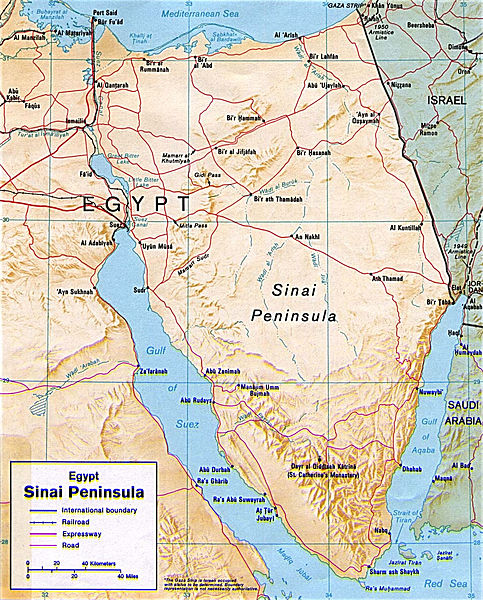
Description Shaded relief map of the Sinai Peninsula, 1992, produced by the U.S. Central Intelligence Agency. Date 1992 Source University of Texas Libraries, Perry-Castañeda Library Map Collection: Egypt Maps
This image is a work of a Central Intelligence Agency employee, taken or made as part of that person's official duties. As a Work of the United States Government, this image or media is in the public domain.
Copyright status:
This image is a work of a Central Intelligence Agency employee, taken or made as part of that person's official duties. As a Work of the United States Government, this image or media is in the public domain.
Source:
http://commons.wikimedia.org/wiki/File:Sinai-peninsula-map.jpg
File history
Click on a date/time to view the file as it appeared at that time.
| Date/Time | Thumbnail | Dimensions | User | Comment | |
|---|---|---|---|---|---|
| current | 12:41, 5 February 2013 | | 483 × 600 (150 KB) | Luiz Alexandre Silva (talk | contribs) | Description Shaded relief map of the Sinai Peninsula, 1992, produced by the U.S. Central Intelligence Agency. Date 1992 Source University of Texas Libraries, Perry-Castañeda Library Map Collection: Egypt Maps This image is a work of a Central Intelli |
You cannot overwrite this file.
File usage
There are no pages that use this file.