File:Oregon map.png
From CreationWiki
Jump to navigationJump to search
Size of this preview: 800 × 573 pixels. Other resolution: 1,182 × 847 pixels.
Original file (1,182 × 847 pixels, file size: 1.11 MB, MIME type: image/png)
Summary
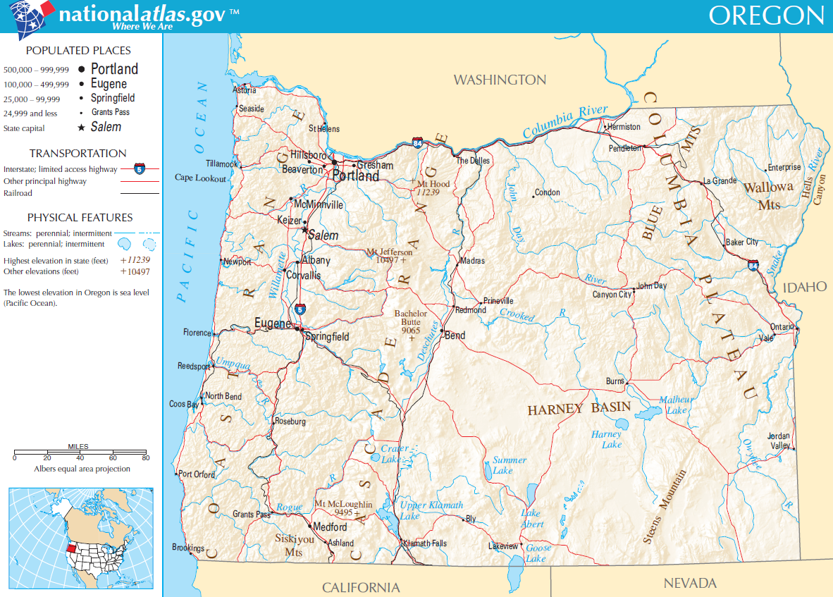
Map of Oregon, USA.
Copyright status:
http://nationalatlas.gov/printable/images/pdf/reference/pagegen_or.pdf
Source:
http://nationalatlas.gov/printable/images/pdf/reference/pagegen_or.pdf
File history
Click on a date/time to view the file as it appeared at that time.
| Date/Time | Thumbnail | Dimensions | User | Comment | |
|---|---|---|---|---|---|
| current | 00:23, 15 July 2011 | | 1,182 × 847 (1.11 MB) | Ashcraft (talk | contribs) | Map of Oregon, USA. category:Oregon category:US state |
You cannot overwrite this file.
File usage
There are no pages that use this file.