File:Iraq map.png
From CreationWiki
Jump to navigationJump to search
No higher resolution available.
Iraq_map.png (330 × 353 pixels, file size: 16 KB, MIME type: image/png)
Summary
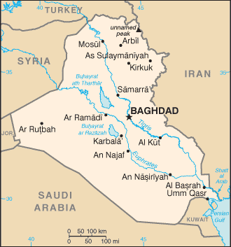
Map of Iraq.
Location: Middle East, bordering the Persian Gulf, between Iran and Kuwait
Copyright status
This image is public domain because it was first published by the U.S. Central Intelligence Agency
Source
https://www.cia.gov/library/publications/the-world-factbook/geos/iz.html
File history
Click on a date/time to view the file as it appeared at that time.
| Date/Time | Thumbnail | Dimensions | User | Comment | |
|---|---|---|---|---|---|
| current | 03:17, 13 January 2008 | | 330 × 353 (16 KB) | Ashcraft (talk | contribs) | Map of Iraq. Location: Middle East, bordering the Persian Gulf, between Iran and Kuwait Category:Iraq Category:map |
You cannot overwrite this file.
File usage
There are no pages that use this file.