File:Habitat range map for water hemlock.png
From CreationWiki
Jump to navigationJump to search
No higher resolution available.
Habitat_range_map_for_water_hemlock.png (650 × 540 pixels, file size: 20 KB, MIME type: image/png)
Summary
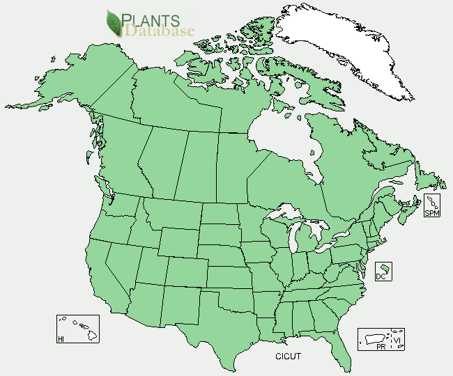
This map shows which states or providences in the United States and Canada show where water hemlock is found in. The map was based on stories, specimens found and observations.
Copyright status:
This photo is made available by being under public domain
Source:
File history
Click on a date/time to view the file as it appeared at that time.
| Date/Time | Thumbnail | Dimensions | User | Comment | |
|---|---|---|---|---|---|
| current | 00:48, 17 April 2011 | | 650 × 540 (20 KB) | Nate buzitis (talk | contribs) | This map shows which states or providences in the United States and Canada show where water hemlock is found in. The map was based on stories, specimens found and observations. |
You cannot overwrite this file.
File usage
There are no pages that use this file.