File:Betula papyrifera range map.jpeg
From CreationWiki
Jump to navigationJump to search
Size of this preview: 800 × 599 pixels. Other resolution: 2,435 × 1,824 pixels.
Original file (2,435 × 1,824 pixels, file size: 1.41 MB, MIME type: image/jpeg)
Summary
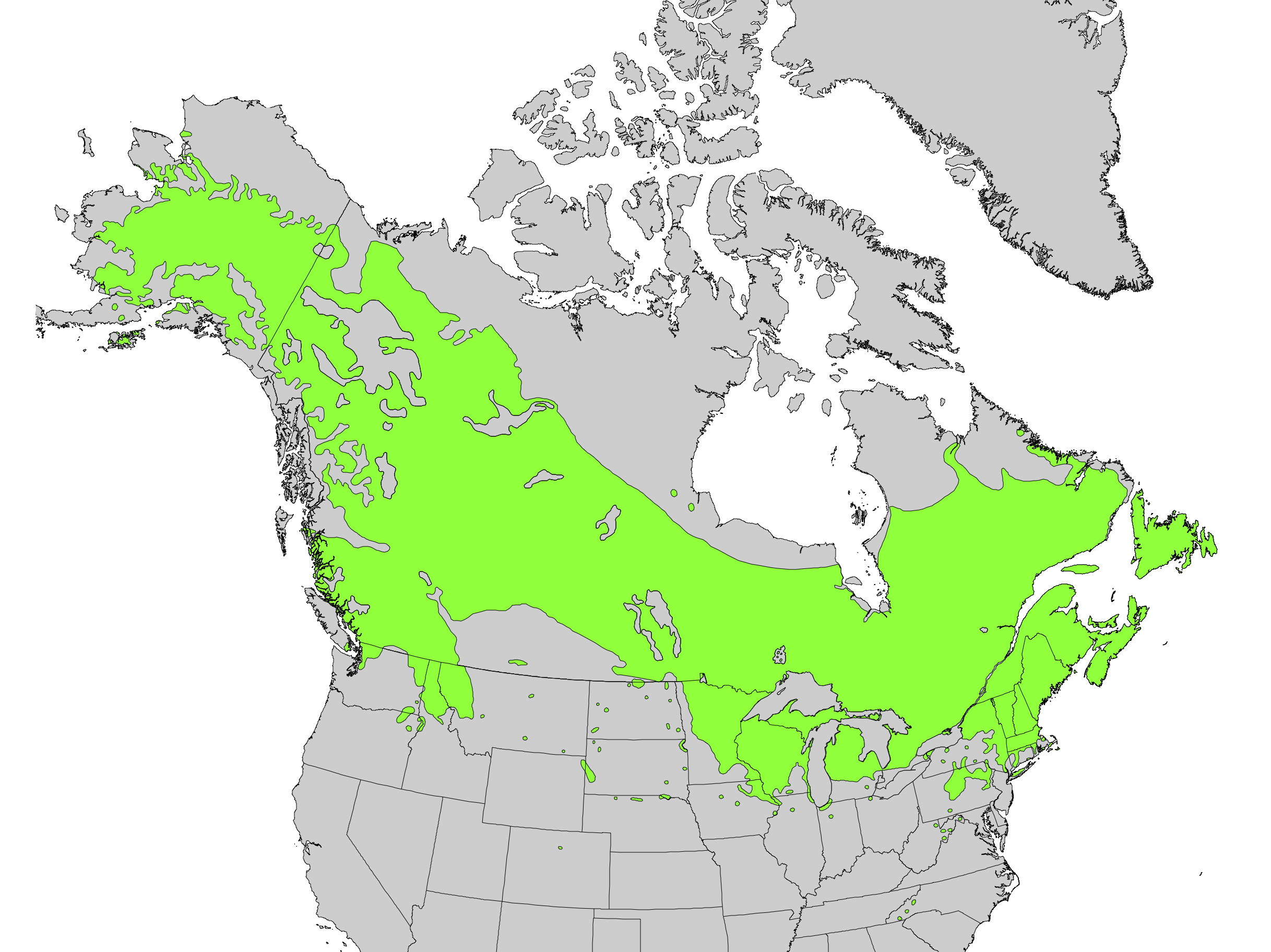
Range map of Betula papyrifera
Copyright status:
This image is in the public domain in the United States because it only contains materials that originally came from the United States Geological Survey, an agency of the United States Department of the Interior.
Source:
https://commons.wikimedia.org/wiki/File:Betula_papyrifera_range_map.jpg
File history
Click on a date/time to view the file as it appeared at that time.
| Date/Time | Thumbnail | Dimensions | User | Comment | |
|---|---|---|---|---|---|
| current | 06:07, 22 May 2017 | | 2,435 × 1,824 (1.41 MB) | Jedyalexander24 (talk | contribs) | Range map of Betula papyrifera |
You cannot overwrite this file.
File usage
There are no pages that use this file.