Summary
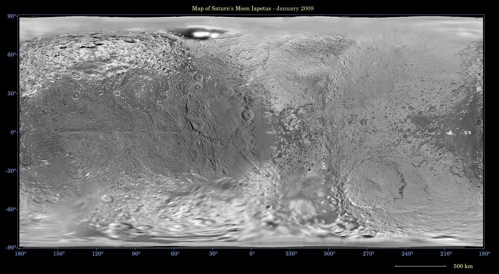
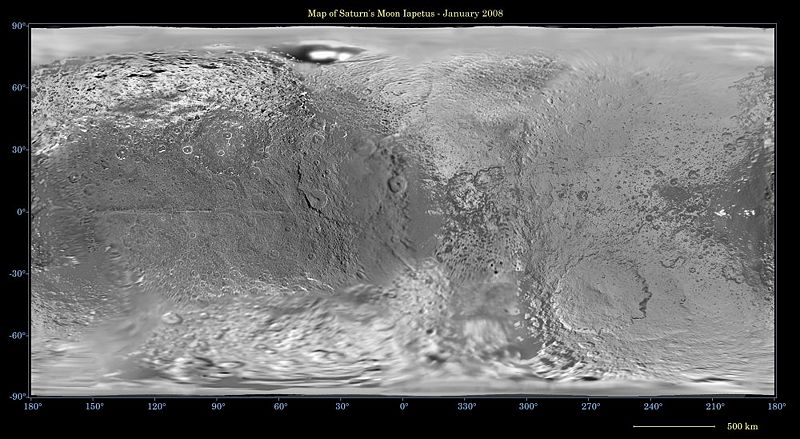
Mercator projection of Iapetus using images from Cassini and the Voyagers
Original caption
This global map of Iapetus was created using images taken during Cassini spacecraft flybys, with Voyager images filling in the poles.
The map is an equidistant projection and has a scale of 803 meters (0.5 miles) per pixel. Some territory seen in this map was imaged by Cassini's cameras using reflected light from Saturn. The mean radius of Iapetus used for projection of this map is 736 kilometers (457 miles). The resolution of the map is 16 pixels per degree. This updated map has been shifted west by 4.5 degrees of longitude, compared to the previously released Cassini product (see PIA07778), in order to conform to the International Astronomical Union longitude system convention for Iapetus.
The Cassini-Huygens mission is a cooperative project of NASA, the European Space Agency and the Italian Space Agency. The Jet Propulsion Laboratory, a division of the California Institute of Technology in Pasadena, manages the mission for NASA's Science Mission Directorate, Washington, D.C. The Cassini orbiter and its two onboard cameras were designed, developed and assembled at JPL. The imaging operations center is based at the Space Science Institute in Boulder, Colo.
For more information about the Cassini-Huygens mission visit <http://saturn.jpl.nasa.gov/home/index.cfm>. The Cassini imaging team homepage is at <http://ciclops.org>.
Copyright status
This image is credited to NASA and the Jet Propulsion Laboratory. Per JPL/NASA policy and applicable United States federal law, such images are in the public domain, or, if they are owned by individuals or institutions other than NASA or JPL, may be used for any journalistic, educational, or personal purpose (but not a commercial purpose) without further authorization. NASA and JPL images, other than their respective institutional logos, or photographs of actual persons, are not subject to copyright and may be used without additional permission, unless otherwise declared. For details, see the JPL Image Use Policy Declaration.
Source
NASA/JPL/Space Science Institute <http://photojournal.jpl.nasa.gov/jpeg/PIA08406.jpg>