File:Iraq map.png
From CreationWiki, the encyclopedia of creation science
Jump to navigationJump to search
No higher resolution available.
Iraq_map.png (330 × 353 pixels, file size: 16 KB, MIME type: image/png)
|
This image was uploaded to the shared "Image Pool" and is usable on any CreationWiki site. |
File history
Click on a date/time to view the file as it appeared at that time.
| Date/Time | Thumbnail | Dimensions | User | Comment | |
|---|---|---|---|---|---|
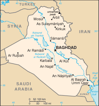
| current | 03:17, 13 January 2008 | | 330 × 353 (16 KB) | Ashcraft | Map of Iraq. Location: Middle East, bordering the Persian Gulf, between Iran and Kuwait Category:Iraq Category:map |
File usage
The following page uses this file: