Ficheiro:World ocean map.gif
De CriaçãoWiki, a enciclopédia da ciência da criação.
Saltar para a navegaçãoSaltar para a pesquisa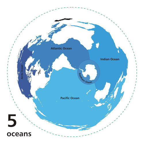
Sem resolução maior disponível.
World_ocean_map.gif (500 × 500 píxeis, tamanho: 68 kB, tipo MIME: image/gif, cíclico, 4 quadros, 10 s)
Histórico do ficheiro
Clique uma data e hora para ver o ficheiro tal como ele se encontrava nessa altura.
| Data e hora | Miniatura | Dimensões | Utilizador | Comentário | |
|---|---|---|---|---|---|
| atual | 17h47min de 19 de novembro de 2010 | | 500 × 500 (68 kB) | Ashcraft | Map of the worlds ocean from various perspective. Azimuthal distance projection map is based on world map from this online Java tool by Henry Bottomley and altered using CorelDraw/PhotoPaint, et al. Map is centered on 85° W, 45° S, rotated 90° CCW (No |
Utilização local do ficheiro
A seguinte página usa este ficheiro: