Ficheiro:Canada location map.png
De CriaçãoWiki, a enciclopédia da ciência da criação.
Saltar para a navegaçãoSaltar para a pesquisa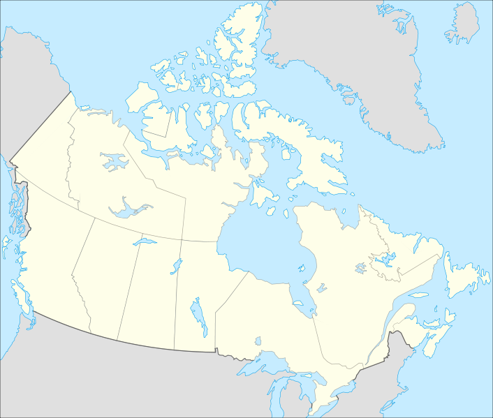
Sem resolução maior disponível.
Canada_location_map.png (706 × 599 píxeis, tamanho: 138 kB, tipo MIME: image/png)
Summary
Description Français : Version recadrée et épurée de Image:Carte administrative du Canada.svg pour la géolocation du Canada. Le cadrage est x=80px, y=166px, height=920, width=1084. Quelques positions : x y pôle Nord 475.5 -159.5 Alert 565 9 Vancouver 77 678 Montréal 807 798 Winnipeg 442 753 Iqaluit 718 396 English: cropped version of Image:Carte administrative du Canada.svg for map location. Date 2008-07-17 22:08 (UTC) Source
Canada_(geolocalisation).svg
Author
   derivative work: Yug (talk)
   Canada_(geolocalisation).svg: STyx
Copyright status:

|
Permission is granted to copy, distribute and/or modify this document under the terms of the GNU Free Documentation License, Version 1.2 or any later version published by the Free Software Foundation; with no Invariant Sections, no Front-Cover Texts, and no Back-Cover Texts. A copy of the license is included in the section entitled GNU Free Documentation License. | ||||||||||
This file is licensed under the Creative Commons Attribution-Share Alike 3.0 Unported license. You are free: • to share – to copy, distribute and transmit the work. • to remix – to adapt the work Under the following conditions: • attribution – You must attribute the work in the manner specified by the author or licensor (but not in any way that suggests that they endorse you or your use of the work). • share alike – If you alter, transform, or build upon this work, you may distribute the resulting work only under the same or similar license to this one. | |||||||||||
This file is licensed under the Creative Commons Attribution-Share Alike 2.5 Generic, 2.0 Generic and 1.0 Generic license. You are free: • to share – to copy, distribute and transmit the work. • to remix – to adapt the work Under the following conditions: • attribution – You must attribute the work in the manner specified by the author or licensor (but not in any way that suggests that they endorse you or your use of the work). • share alike – If you alter, transform, or build upon this work, you may distribute the resulting work only under the same or similar license to this one. | |||||||||||
| You may select the license of your choice from the above licenses. |
Source:
http://commons.wikimedia.org/wiki/File:Canada_location_map.svg
Histórico do ficheiro
Clique uma data e hora para ver o ficheiro tal como ele se encontrava nessa altura.
| Data e hora | Miniatura | Dimensões | Utilizador | Comentário | |
|---|---|---|---|---|---|
| atual | 09h31min de 25 de junho de 2013 | | 706 × 599 (138 kB) | Luiz Alexandre Silva | Description Français : Version recadrée et épurée de Image:Carte administrative du Canada.svg pour la géolocation du Canada. Le cadrage est x=80px, y=166px, height=920, width=1084. Quelques positions : x y pôle Nord 475.5 -159.5 Alert 565 9 |
Utilização local do ficheiro
A seguinte página usa este ficheiro: